
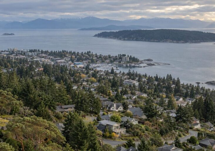
Where you build in Nanaimo decides more about the project than almost any other early choice, because the lot sets most of the site cost and a fair amount of the design. There is no single best answer to where to build a custom home in Nanaimo: the right area depends on the lot you can get, the budget you are working to, and how much approval time you can absorb. That is why we price the ground before the drawings get expensive, and why our design-build custom homes begin with the parcel rather than the floor plan.
Nanaimo is also not one set of rules. An address here sits under the City of Nanaimo, under one of the regional district’s electoral areas, or inside an improvement district, and which one it falls under is the first thing that changes a build. It does not always match the mailing address.
The Names Nanaimo’s Planning System Uses
Nanaimo carries two sets of names. There are the ones residents use, which come from associations, school runs and habit, and there are the ones the planning system uses, which come from adopted documents. The planning names are the ones that decide what happens to a build, so those are the ones worth learning: the areas the City plans for, the centres it expects to grow, and the line where the City stops.
The Areas the City Plans For
Nanaimo’s official community plan is City Plan: Nanaimo ReImagined, adopted by Council in July 2022, and it sets the City’s direction for the coming 25 years. Below it sit the City’s area and neighbourhood plans: five area plans covering downtown, the Port Drive waterfront, the hospital area, the Bowers District and Sandstone, and seven neighbourhood plans covering Chase River, Departure Bay, Harewood, Newcastle and Brechin, the Old City, the combined Rocky Point, Hammond Bay and Stephenson Point area, and the South End.
If a shortlisted area appears in that list, a published document already describes what the City wants built there, and it is worth reading before an offer goes in. The City separately recognizes volunteer neighbourhood associations, and their names are how residents talk about where they live rather than planning boundaries.
Urban Centres, and What the Designation Tells You About a Street
City Plan identifies six secondary urban centres across the city. Woodgrove is the most northern of them, and the Woodgrove Area Plan covers that centre’s boundaries. City Plan designates Country Club as a secondary urban centre too, and envisions the corridor as a mobility hub. Downtown is handled through its own area plan.
A designation like that is information about the future of a street. Provincial transit-oriented area rules identify three bus exchanges in Nanaimo, at Woodgrove, Country Club and Vancouver Island University, and Council adopted its transit-oriented area designation bylaw in June 2024. If you are buying near one of those three, expect the buildings around you to change over the life of your house. Separately, rules brought in under Bill 44 mean lots once zoned for a single house can now carry more than one home, and how many depends on lot size and location.
Where the City Stops
A Nanaimo mailing address is not the same as being in the City of Nanaimo, and that catches buyers late. Regional District of Nanaimo planning serves Electoral Area A, which it lists as Cassidy, Cedar, Yellow Point and South Wellington, and Electoral Area C, which covers Extension, Arrowsmith-Benson, East Wellington and Pleasant Valley. Electoral Area B is Gabriola and the smaller islands around it, and its land use sits with the Islands Trust rather than with the regional district. Lantzville is neither of those: it is a separate municipality with its own council.
What changes across that line is the office you apply to, the bylaw you build under and how long the approval chain runs. Servicing is a separate map again, and it does not follow the jurisdiction lines: City water reaches Snuneymuxw First Nation lands, and wastewater from them is treated at the regional plant.
The Overlays That Can Change a Build
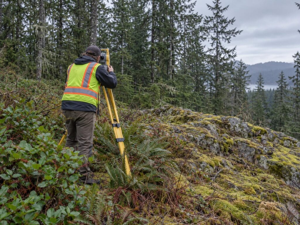
An overlay is not paperwork. When one lands on a parcel it changes the design, the consultant list and the calendar, all before a building permit can issue. The City has eight development permit areas: environmentally sensitive areas, hazardous slopes, sea level rise, abandoned mine workings hazards, wildfire hazard, steep slope development, Nanaimo Parkway design, and form and character. Some carry exemptions.
Whether one lands on a lot is decided by the map, not by the area’s reputation, and a parcel three doors from a constrained one may carry nothing at all. Look the specific address up on NanaimoMap, then confirm it with Current Planning before writing an offer. Knowing what a development permit application involves before a lot goes under contract often changes what the offer should say.
Coal, Rock and Grade
The City says the two risks it most often encounters here are subsidence due to abandoned coal mine workings and landslip on steep sites. Coal was mined in various locations around Nanaimo from 1852 until the 1950s, and the City and the provincial ministry are working together to better identify the areas with the greatest potential for subsidence. Owners who want to know what is under their property are pointed toward qualified local geotechnical engineers.
Rock is the other constant. It costs money to remove and saves money to build on, and it turns up often on the higher ground. A geotechnical report is a formality on some lots and the thing the design gets rebuilt around on others. Grade comes with its own pair of overlays: hazardous slopes and steep slope development are two separate development permit areas with separate triggers, and a lot can sit in one without sitting in the other.
Where the Water Goes: Shoreline, Creeks and Lakes
The City completed a sea level rise study in 2018 that gave a high level overview of risk areas, carried projections for 2050 and 2100, and set flood construction levels along the city’s shoreline. Those levels sit under a management plan that is still being finished, with a final report due to Council in September 2026.
Inland, the trigger is the watercourse. Under provincial riparian rules the assessment area around a stream is a 30 metre strip on each side, and a stream includes a watercourse or body of water whether or not it usually contains water, which catches seasonal ditches that look like nothing in August. Where a creek, ditch or lake is involved a development permit can be required, and Current Planning is the desk that tells you which one. Chase River, Westwood Lake, Diver Lake and the ravines running off the slope all put water through otherwise ordinary streets.
Wildfire on the Forested Edge
Wildfire hazard is one of the eight development permit areas, and it lands hardest on the forested edges of the city and out in the electoral areas. The regional district describes the wildland urban interface as the zone where structures and development meet undeveloped wildland or vegetative fuels, advises builders to follow FireSmart principles in land development, home design and landscaping, and has produced community wildfire resiliency plans for the areas it covers.
For a buyer this is a specification decision, not a landscaping one. Cladding, decking, roofing, soffit detail and the planting within a few metres of the wall are all far cheaper to settle at the drawing stage than at the framing stage. Find out whether a lot sits in a wildfire development permit area before those choices get made, because the answer shapes the materials list rather than the finish schedule.
Nanaimo Areas at a Glance

Most lots inside Nanaimo are on city water and sewer. Being inside the city is not the same as being connected, though, and the two are easy to conflate when a listing says services are available. The real question is whether the services are in the road at your frontage and what it costs to bring them the rest of the way, which is something the City’s engineering staff answer for a specific property.
That distance is a site cost before it is a convenience. Every metre of trench between the last connection and the house carries excavation, pipe and road restoration, plus a schedule set by when the City will let you cut the road. On a rural parcel the same question becomes a well and a designed onsite system, both of which move onto the build budget and land before the foundation. Get the answer in writing early, because it moves numbers more than most finish decisions do.
| Area | Local government | Water and sewer provider | Most worth checking first |
| North Nanaimo: Woodgrove, Country Club, Rutherford, Rock City | City of Nanaimo | City of Nanaimo | Urban centre designation at Woodgrove and Country Club, and the Country Club mains replacement scheduled for 2027 |
| Linley Valley and Diver Lake | City of Nanaimo | City of Nanaimo | The park boundary: Linley Valley parkland is now over 400 acres |
| Departure Bay | City of Nanaimo | City of Nanaimo | A provincially designated archaeological site at the beachfront, and sea level rise mapping |
| Rocky Point, Hammond Bay, Stephenson Point | City of Nanaimo | City of Nanaimo | Shoreline flood construction levels, and salt exposure on the envelope |
| Old City, downtown, South End, Newcastle and Brechin | City of Nanaimo | City of Nanaimo | Sea level rise mapping downtown, and the size and condition of the service at the frontage |
| Harewood and the university district | City of Nanaimo | City of Nanaimo | The transit-oriented area designation at the university exchange |
| Chase River, Cinnabar Valley, Westwood Lake | City of Nanaimo | City of Nanaimo | Whether slope or wildfire development permit areas apply |
| Cedar and Yellow Point | Regional District of Nanaimo, Electoral Area A | North Cedar Improvement District water inside its boundary, wells outside. Community sewer: 128 connections | The coastal flood hazard development permit area, and the Agricultural Land Reserve |
| Cassidy, South Wellington, Extension | RDN Electoral Area A (Cassidy, South Wellington) and Area C (Extension) | No regional district sewer service area. Extension is on the City of Nanaimo’s water system | Wildfire interface, and confirming the water source by address |
North Nanaimo and the Mid-Slope Suburbs
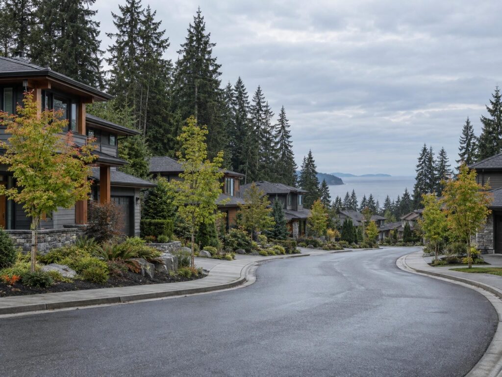
North Nanaimo is the band most buyers picture when they think about building here: Woodgrove, Country Club, Rutherford, Rock City and the established subdivisions around and between them. This is where a build is most predictable. The lots were created through subdivision, the services are at the frontage, the grade is modest, and the design rarely has to be rebuilt around a constraint. That certainty is what a buyer is paying for in this band.
The trade is design freedom. Lot shapes, frontages and street patterns were set by someone else decades ago, and a house here works inside them rather than around a hillside or a creek. These are also the areas where the new provincial density rules are most likely to change what a neighbour can build next door.
Woodgrove and Country Club
Both are secondary urban centres, and the designation means the street is expected to change. Woodgrove is the City’s most northern secondary urban centre, and its area plan is in progress rather than adopted, so what is published today describes the designation rather than a settled set of rules. Country Club is designated in City Plan as a secondary urban centre as well, with the corridor envisioned as a mobility hub.
Country Club also has work coming. The City is replacing aging underground water and sanitary sewer mains along Norwell Drive between 107th Street and the Island Highway, with construction scheduled for 2027. If you are building near that stretch, road access, site staging and the timing of your utility connection are all worth a conversation with the City before a build schedule is set. A trench in the road you need for a concrete truck is a scheduling problem, not a detail.
Linley Valley and Diver Lake
Linley Valley park is now over 400 acres. Council directed staff to acquire land there in the spring of 2014, an environmental assessment ran across all four seasons in 2017 and 2018, and the City records that increasing development on the edges of Linley Valley fuelled a strong public desire to preserve the majority of the remaining land in a natural state. Diver Lake Park is City-owned and City-operated, which confirms that this whole pocket sits inside the municipality.
For a builder the consequence is straightforward: the buildable land here is the edge of protected ground. A lot backing onto the park is usually the one carrying mature trees, a slope running down to the boundary, or a watercourse crossing a corner of it. Trees on a lot are a permitting question before they are an aesthetic one, and water arriving at a boundary changes where the house can sit.
The Waterfront: Rocky Point to Departure Bay
On this coast the things that make a lot desirable and the things that constrain it come from the same terrain. The bench falls away to the water, the water brings salt and weather with it, and the ground closest to the shore has been lived on for thousands of years. A view lot on this stretch is rarely a simple lot.
Rocky Point, Hammond Bay and Stephenson Point
Rocky Point, Hammond Bay and Stephenson Point are covered by a single City neighbourhood plan, which is a fair signal that the City reads them as one piece of coastline. The City’s 2018 sea level rise study set flood construction levels along the shoreline, and on the lower lots here that number is a design input rather than a footnote.
East-facing exposure is the other condition. Salt-laden wind drives the cladding choice, the window specification, the flashing detail and the maintenance schedule for the life of the house, and the difference shows up in year eight rather than year one. There is a whole discipline behind building for salt air and coastal exposure, and it is cheaper to settle before the elevations are drawn than to correct later.
One more thing surprises buyers here. The pitches from road to shore on this stretch are often short and steep, which makes the driveway and the foundation the first questions rather than the view.
Departure Bay
Departure Bay has its own City neighbourhood plan, and it carries a constraint almost no buyer knows about before an offer. Departure Bay lies within the traditional territory of the Snuneymuxw First Nation and was historically the site of a Snuneymuxw winter village and burial ground. The beachfront and adjacent foreshore area is a provincially designated archaeological site. For its own work on the beachfront, the City worked with the Snuneymuxw First Nation and an archaeological consultant to complete monitoring during construction.
Two things follow from that. Archaeological sites on public and private land are protected whether they are known or not, and must not be altered without a permit, so protection does not depend on a site having been recorded and it does not stop at the edge of public land. The Province runs a service that lets you request archaeological information about a property, and on a waterfront or river-mouth lot in this area that request belongs in the due diligence window.
Departure Bay is also one of three low-lying populated areas the City identifies as needing more accurate inundation mapping, alongside Protection Island and the downtown area. None of this is a reason to walk away. It is a reason to know what a site will need before the price is agreed.
The Old Core: Old City, Downtown, South End, Newcastle and Brechin
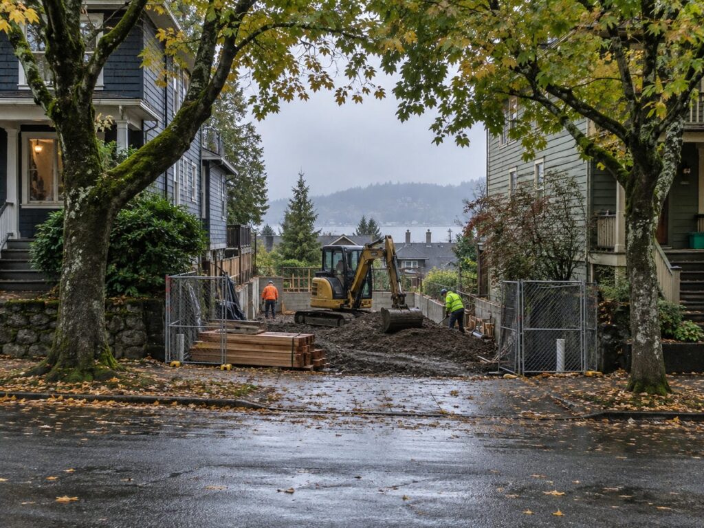
Four City documents cover this band: the Old City, South End, and Newcastle and Brechin neighbourhood plans, plus the Downtown Plan, which is an area plan. What the band shares is a bundle. Small infill lots, mature trees on and around them, and servicing that already exists, with its size and condition at the frontage as the open question.
Infill Lots and the Service at the Frontage
Existing is not the same as adequate. On an already-occupied lot the questions are the size and condition of the service at the frontage, whether the connection is shared with a neighbour, where it enters the property, and what the street will tolerate for a construction laydown. Ask the City for the service records on the address and have your surveyor locate the connection, because a lateral in an unexpected place moves the house.
Site access is the cost nobody prices. A narrow lot with mature trees and neighbours close on both sides changes sequencing more than most buyers expect: smaller equipment, more moves, material delivered in stages, and a crane day booked around the street. None of that is a reason to avoid the old core. It is a reason to have the site logistics drawn before the budget is fixed.
This band is also where most Nanaimo teardowns happen, and demolition is its own process with its own permits and lead times.
Nanaimo’s Coal Mining History and What It Means for an Older Lot
Coal was mined around Nanaimo from 1852 into the 1950s. That history is a fact about Nanaimo, and where the workings run is a question about a parcel. The honest answer for any specific lot comes from a geotechnical engineer rather than from what the street is known for. That work costs far less before a purchase closes than after a house has been drawn, because a report that changes the foundation changes everything sitting on it. On an older lot, get the ground looked at inside the subject period.
Downtown, Protection Island and the Flood Construction Level
Downtown and Protection Island sit low to the water. On ground like that, the flood construction level set for the shoreline is the first number to get, because it decides how the house meets the ground before anything else is drawn.
A flood construction level is a floor height, and a floor height set above grade reshapes a house. The entry, the driveway, the garage slab and sometimes the storey count all move with it. On a small lot the driveway is usually what gives first, because there is only so much length available to climb.
The Slope and the Interface: Westwood Lake, Chase River and Cinnabar Valley
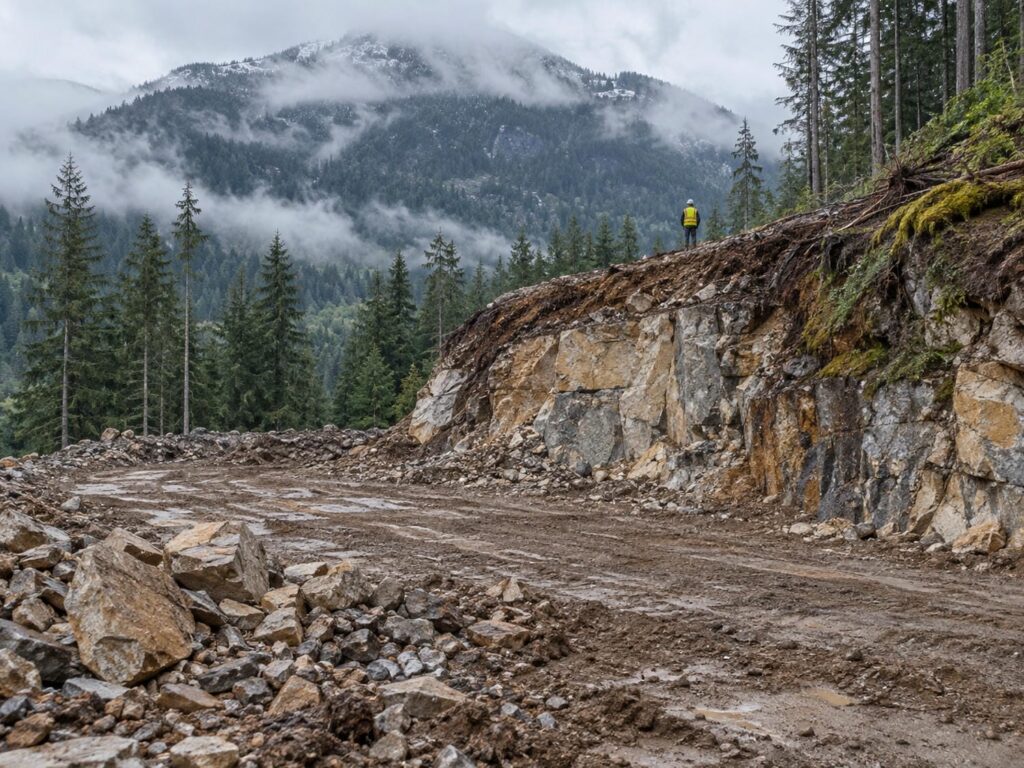
West and south of the core the ground rises toward Mount Benson, and the conditions change with it. Rock closer to the surface, more grade, forest at the edge and drainage arriving from uphill are the common features of this band. Each of those has a name in the City’s overlay list, so what looks like scenery on a drive-by is usually a cost on a build.
Westwood Lake and the Mount Benson Flank
Westwood Lake Park is City-owned and City-operated, with a 5.51 kilometre trail, and it sits on the lower slopes of Mount Benson, which puts the area comfortably inside the municipality. Hazardous slopes, steep slope development and wildfire hazard are three of the city’s eight development permit areas, and this flank is where all three become plausible on the same parcel.
Nanaimo separates hazardous slopes from steep slope development, and each has its own guidelines and its own triggers. If the lot falls away from the road, treat a development permit as likely rather than possible, and get the grade confirmed before the subject removal date.
Drainage is the quieter issue. Water arrives from uphill whether or not there is a creek on the lot, so where it goes is a design question here even on a site that looks dry in July.
Chase River and Cinnabar Valley
Chase River has its own City neighbourhood plan. Cinnabar Valley Park, acquired by the City in 1980, is City-owned and City-operated, which settles the question of whether Cinnabar Valley sits inside the municipality. Between them the two areas offer a genuinely mixed bundle: some flat, serviced, unremarkable lots, and some that are anything but.
This is the part of the city where two lots on the same street can behave very differently. One sits on till and takes a conventional foundation at a predictable price. The next sits on a rock shelf, and the excavation line becomes the largest single variable in the site budget. From the road the two look alike, which is exactly why test holes matter more here than listing photos do.
Harewood, the University District and South Nanaimo
South and southwest of the core sit three areas with little in common beyond geography. Harewood is an established grid of older, smaller lots. The university district is shaped by a large institution and by a designation attached to the exchange beside it. South Nanaimo holds a master-planned growth area that arrives with its own rules. Each one does something different to a build.
Harewood
Harewood has its own City neighbourhood plan, which puts it among the seven areas with a published description of what the City wants built there. The appeal is proximity on a smaller, established lot: a street grid laid out long before anyone thought about cul-de-sacs, and a short run into the core.
The work is in what an old lot needs before a new house can sit on it: a current survey, a title search that turns up whatever was registered over the decades, a servicing confirmation at the frontage, and an answer on what the ground is doing. What is under a specific lot is a geotechnical question, handled here the same way it is handled anywhere else in the city. None of it is difficult. It just has to happen inside the subject period.
The University District and the Transit Designation
Provincial transit-oriented area rules identify the Vancouver Island University exchange as one of three in Nanaimo, alongside Woodgrove and Country Club, and Council adopted its transit-oriented area designation bylaw in June 2024. That is the clearest published signal in the city that a particular set of streets is going to change.
For someone building a single house nearby, the designation is not a problem. It is information. The density around the exchange is more open than it looks today, and so are the traffic pattern and the view line from an upper floor. If a view matters, look hard at what could be built between you and it rather than at what stands there now.
It cuts the other way too. Streets near the exchange are the ones where the new provincial density rules have the most room to operate, which shapes what a neighbour can do as much as what you can.
South Nanaimo and the Sandstone Area
Sandstone is a master-planned area adopted as part of City Plan and published alongside the Downtown Plan, the Port Drive Waterfront Master Plan, the Hospital Area Plan and the Bowers District Master Plan. Any lot buyer in the south end will hear the name, so it helps to know what a master-planned area does to a custom home.
Lots in one generally arrive serviced, which takes the largest unknown out of a site budget before the purchase rather than after it. They also arrive with design expectations attached, set out in the plan and often reinforced by a building scheme registered on title. That is a fair trade for many buyers and a poor one for others. If the house in your head has an unusual roof form or a material palette you care about, read the design expectations before you fall for a lot.
Outside the City: Cedar, Yellow Point, Cassidy and South Wellington
Cedar, Yellow Point, Cassidy and South Wellington carry Nanaimo mailing addresses and Nanaimo phone numbers, and none of them is in the City of Nanaimo. Regional District of Nanaimo planning lists all four as Electoral Area A, with Extension and East Wellington sitting in Electoral Area C. What changes is the office and the rulebook: applications go to the regional district’s planning department rather than to City Hall, the bylaw is a different bylaw, and the approval chain runs longer because more of it happens across more than one counter.
The full mechanics of building outside Nanaimo city limits are a subject of their own. What matters for a shortlist is what sits on the ground in Area A: who supplies the water, what happens to the wastewater, and what else is registered over the land.
Who Actually Supplies Water in Cedar
Cedar’s water comes from neither the City nor the regional district. The North Cedar Improvement District provides waterworks, fire protection and street lighting to properties within its boundaries, supplying potable water to approximately 1,285 accounts and fire protection to 2,129 properties. It is a fourth local authority in a region most buyers assume has three.
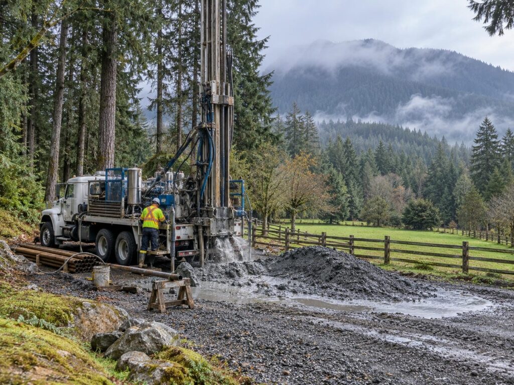
Whether a parcel sits inside that boundary decides whether water means a tap or a drilling rig, so the improvement district is the body to ask about a specific parcel before an offer goes in. The same boundary carries the fire protection, which makes it an insurance question as well as a safety one.
Outside the boundary the answer is groundwater. About half of all residents within the regional district depend on groundwater for their drinking water, so a well is normal here rather than exotic. It is still a line item with a lead time, and it belongs in the budget early.
Sewer in Cedar, and What the Rest of the Area Does
The regional district runs six sewer service areas, and the only one near Nanaimo’s south side is the Cedar Sewer Service Area. It covers the Cedar town core and portions of MacMillan Road and Cedar Road, with currently 128 residential and commercial connections. That is a small and geographically tight service area, so a parcel outside the Cedar town core answers the wastewater question on its own land.
An onsite system is a designed part of the house, not an afterthought. It needs soil that will take it, room to put it, and a position that works alongside the well, the driveway and the house. The regional treatment plant that serves the City, the District of Lantzville and Snuneymuxw First Nation lands also treats septage from residential septic systems and wastewater from pump-and-haul properties, which shows how common onsite servicing is across the region.
Farmland, and a New Overlay on the Shoreline
Two things sit on top of the land in Area A that will not show up on a listing. The first is the Agricultural Land Reserve. Some properties within Nanaimo city limits are in the reserve as well, so this is not a rural-only question, and whether a specific property is in or out is confirmed on the Agricultural Land Commission’s own property and map finder, searchable by address or parcel identifier. In the reserve, a principal residence must have a total floor area of 500 square metres or less, which is a real constraint on a large house.
The second is recent. The regional district adopted a coastal flood hazard development permit area applying to Electoral Areas A, E, G and H, with flood construction levels based on updated floodplain mapping that accounts for climate change and sea level rise, and the regional board approved the amendments in September 2024. A shoreline lot in Cedar or Yellow Point now carries that requirement, recent enough that many buyers do not know it exists.
Extension: Outside the City, On City Water
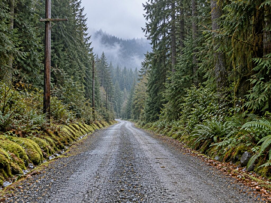
Extension is the counter-example. Outside the city does not automatically mean off city services. It sits in Electoral Area C, served by regional district planning rather than by the City, and no regional district sewer service area covers it. Wastewater is handled on the property, the same as in most of Area A.
Its drinking water is another matter. The City’s water comes from the South Nanaimo River Watershed and is transported to Nanaimo, Snuneymuxw First Nation, the District of Lantzville and the community of Extension. So a parcel outside the municipality can sit on treated municipal water while answering its wastewater question on its own land. Lantzville is the second instance of the same pattern: a separate municipality, also on the City’s water system.
The point is not that Extension is unusual. It is that servicing does not follow the municipal boundary tidily in either direction. There are parcels inside the city where the service is not at the frontage, and there are communities outside it drinking treated city water. That is why the servicing question gets asked about a frontage and a parcel rather than about an area name, and why it belongs in the due diligence window.
Extension is also forested, which puts wildfire in the same sentence as the water supply.
How to Read Land Value Before You Make an Offer
Land in Nanaimo does not price by neighbourhood so much as by what the lot will take. Two lots on the same street can be tens of thousands of dollars apart once the driveway, the rock and the servicing are priced, and the asking prices will not show you that.
There is one published figure worth carrying as a temperature reading. BC Assessment’s 2026 assessments reflect market value as of July 1, 2025 and were released in January 2026, and the typical assessed value of a single family home in Nanaimo moved from $760,000 in 2025 to $769,000 in 2026, a change of about 1 percent. That is a whole property, house included, across the municipality. It is not what a lot costs and was never meant to be read that way.
The useful part of BC Assessment for a lot buyer is the individual property search, which is free, shows a value for every property, and assesses land separately from improvements. Before comparing two asking prices, look both properties up there and compare the land figures on the streets being shortlisted.
Then do the thing that actually protects a budget: buy on price per buildable square foot, not price per square foot of land. A steep, rocky, covenanted or creek-constrained acre can carry less house than a flat quarter acre. The decisions that are expensive to reverse are the ones made before the offer, and they are servicing distance, excavation, and any overlay that adds a consultant to the drawing team.
How to Decide Where to Build a Custom Home in Nanaimo
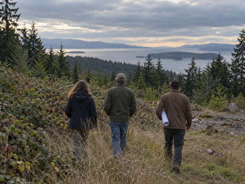
The shortlist question and the address question are different questions. The band narrows the likely answers, because these conditions really do cluster by geography, and the address gives you the real ones. Zoning, overlay coverage and servicing can all change at a property line, which is why the house going up next door is not a precedent for yours, however similar the two lots look from the street.
Matching an Area to What Matters Most to You
If certainty is what you want most, the established subdivisions of the mid-slope band are where it lives. Services are at the frontage, the grade is modest, and the design is rarely rebuilt around a constraint, which makes the schedule easier to hold. What you give up is design freedom, because the lot shapes and the street pattern were set decades ago and the house has to work inside them.
A view pulls you to the waterfront band, and it arrives with its own conditions: flood construction levels at the bottom of the slope, salt exposure on everything facing the water, and on some stretches archaeological sensitivity. Consultants and calendar are the currency there. Land size and privacy point out to Electoral Area A, where the parcels are larger but water and wastewater move onto the build budget and the approvals take longer to run.
Proximity and a smaller lot point back to the core, where the appeal is where you are and the work is in what an old lot needs before a new house can sit on it. The band narrows the answer. The address decides it.
Who Holds Each Answer
Most of what is left is a call to the right desk. Current Planning at the City confirms zoning and which development permits apply to a parcel, and the City invites exactly that contact. Outside the city, regional district planning holds the same answers for the electoral areas. In Cedar, the North Cedar Improvement District holds the water and fire protection answer. A qualified local geotechnical engineer answers what is under a specific lot, and the Agricultural Land Commission’s property finder answers the reserve question. The school district holds the current catchment, which shifts as schools fill and is worth confirming for a specific address rather than taking it from a listing.
One question is worth asking outright. Some development permits come with exemptions for a single house and some do not, so ask Current Planning which of the permits on the parcel can be released, because the answer changes both the cost and the calendar.
Once the area is settled, the next layer down is how to evaluate an individual lot.
Bring Us Your Shortlist Before You Write an Offer
The band narrows the answers and the address gives them, and the gap between those two is where budgets go wrong. If you have two or three Nanaimo lots in front of you, we will walk them with you before the subject removal date and tell you what each one is likely to do to the build: the servicing run, the excavation, and the overlays that will add a consultant to the drawing team.
We work on a fixed-price contract, which matters most at exactly this stage, because it is what turns a site-cost unknown into a number a budget can be held against. Southpaw Homes is a BC Housing Licensed Residential Builder, and every home we build carries Pacific Home Warranty 2-5-10 coverage. We are also the custom home builder Nanaimo buyers bring a parcel to before the offer, not after.
When you are ready, get in touch with our Nanaimo team and bring the addresses.
Frequently Asked Questions
Is Cedar Part of the City of Nanaimo?
No. Cedar sits in Electoral Area A of the Regional District of Nanaimo, alongside Yellow Point, Cassidy and South Wellington, despite the Nanaimo mailing address and the Nanaimo phone exchange. The practical consequence is that a build there goes through a different planning office, under a different bylaw, with an approval chain that runs longer than a comparable application inside the city. Water and wastewater are separate questions again in Cedar, and the City answers neither of them. Settle the jurisdiction question first, because a great deal follows from it.
Do I Need to Worry About Sea Level Rise if I Build Near the Water in Nanaimo?
Treat it as a design input rather than a warning. The City’s 2018 study set flood construction levels along the shoreline and identified Departure Bay, Protection Island and the downtown area as the low-lying populated areas needing more accurate inundation mapping, with a management plan finishing in September 2026. Outside the city, the regional district adopted a coastal flood hazard development permit area covering Electoral Area A in 2024, so a shoreline lot in Cedar or Yellow Point carries one too. Either way, the number sets the floor height, and the floor height reshapes the house.
Which Nanaimo Areas Are Most Likely to Need a Development Permit?
The answer runs by condition rather than by name. The City’s overlays are written around conditions: slope, the shoreline, watercourses, wildfire on the forested edge, and abandoned mine workings. A lot carrying any of those is more likely to bring a development permit before a building permit can issue, and a lot without them is not automatically released from one. Whether a permit actually applies is decided by the map, so confirm the specific address with Current Planning. Two of the eight overlays are design overlays rather than ground conditions, another reason the area name tells you less than the parcel does.
Was Coal Mined Under Nanaimo, and Does It Change Where I Should Build?
Coal was mined around Nanaimo from 1852 until the 1950s, and abandoned mine workings hazards is one of the City’s eight development permit areas. The City and the provincial ministry are still working together to identify where the potential for subsidence is greatest, so the mapping is still being refined. It does change how you buy, though not at the neighbourhood level: it changes what you ask about a specific lot. A qualified local geotechnical engineer answers that question for the property, and the answer is worth having before the purchase closes.
Can a Lot in Cedar Connect to a Community Sewer?
Only a small part of Cedar can. The regional district’s Cedar Sewer Service Area covers the Cedar town core and portions of MacMillan Road and Cedar Road, with currently 128 residential and commercial connections. A parcel outside the Cedar town core handles wastewater on its own land, with a designed onsite system that needs soil which will take it and room to sit alongside the well, the driveway and the house. Confirm which side of the service area boundary a parcel falls on before assuming a connection is available to it.
Does an Ocean View Lot Cost More to Build On?
Usually, and the reason is the terrain itself. On this coast the ground that creates the view also creates the grade, the shoreline flood construction level, the salt exposure on the envelope and, on some stretches, the archaeological sensitivity. Each of those adds either a consultant, a design change, or a maintenance commitment that runs for the life of the house. A steep pitch from the road means a driveway and a stepped foundation. None of it is prohibitive, but it belongs in the budget before the offer rather than after it.